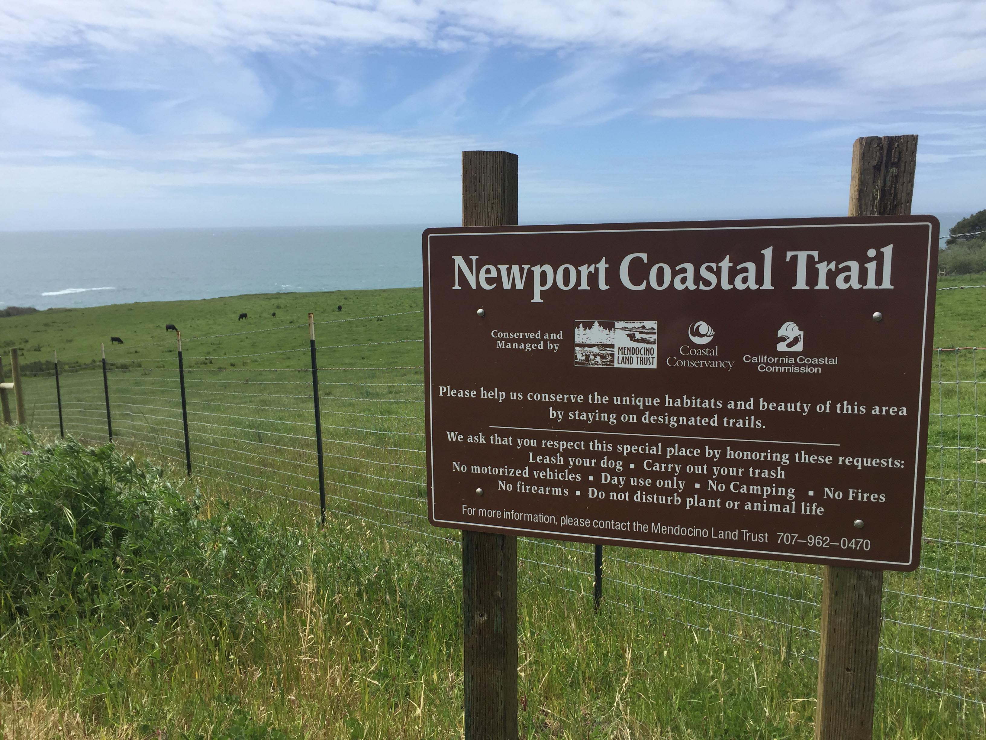
Newport Trail
AMENITIES


 DOWNLOAD MAP
  OPEN IN GOOGLE MAPS
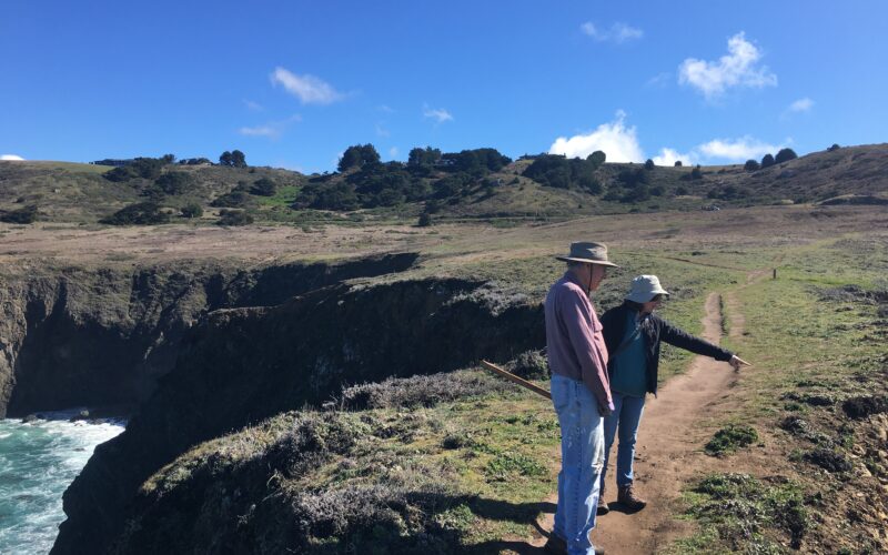
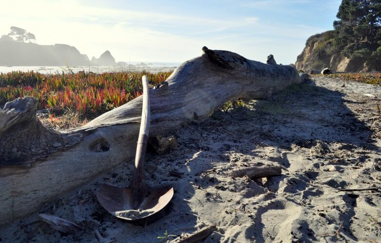
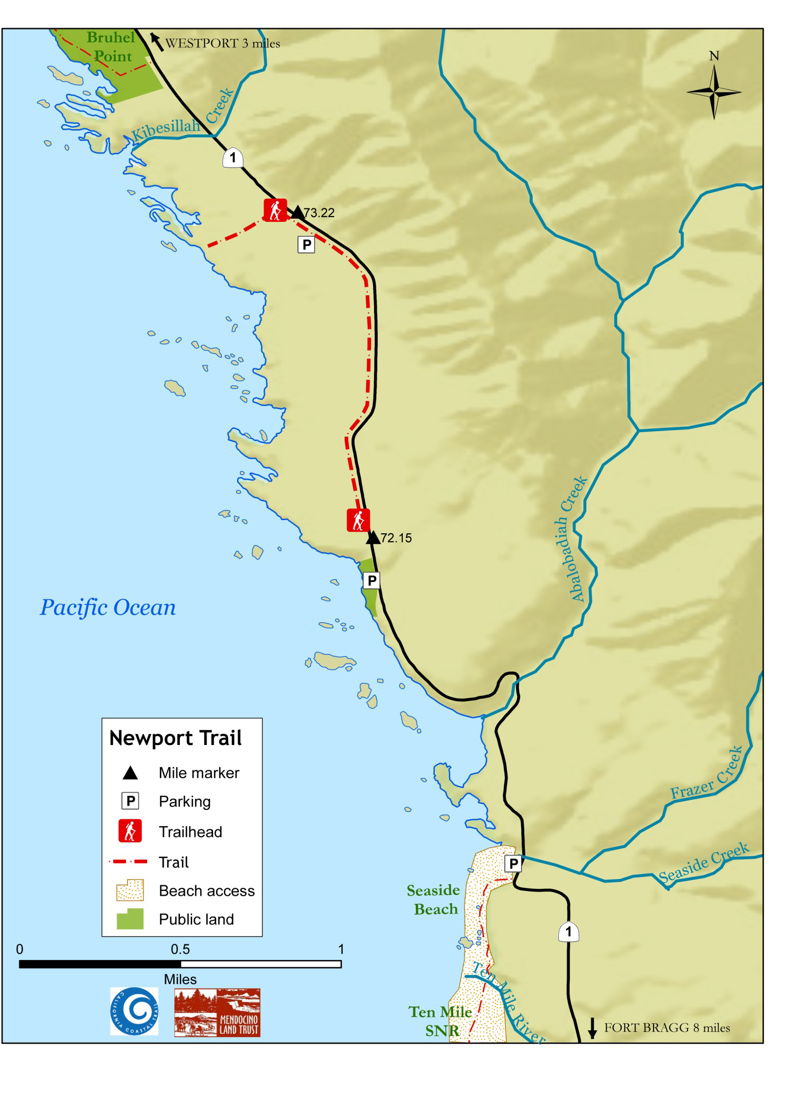
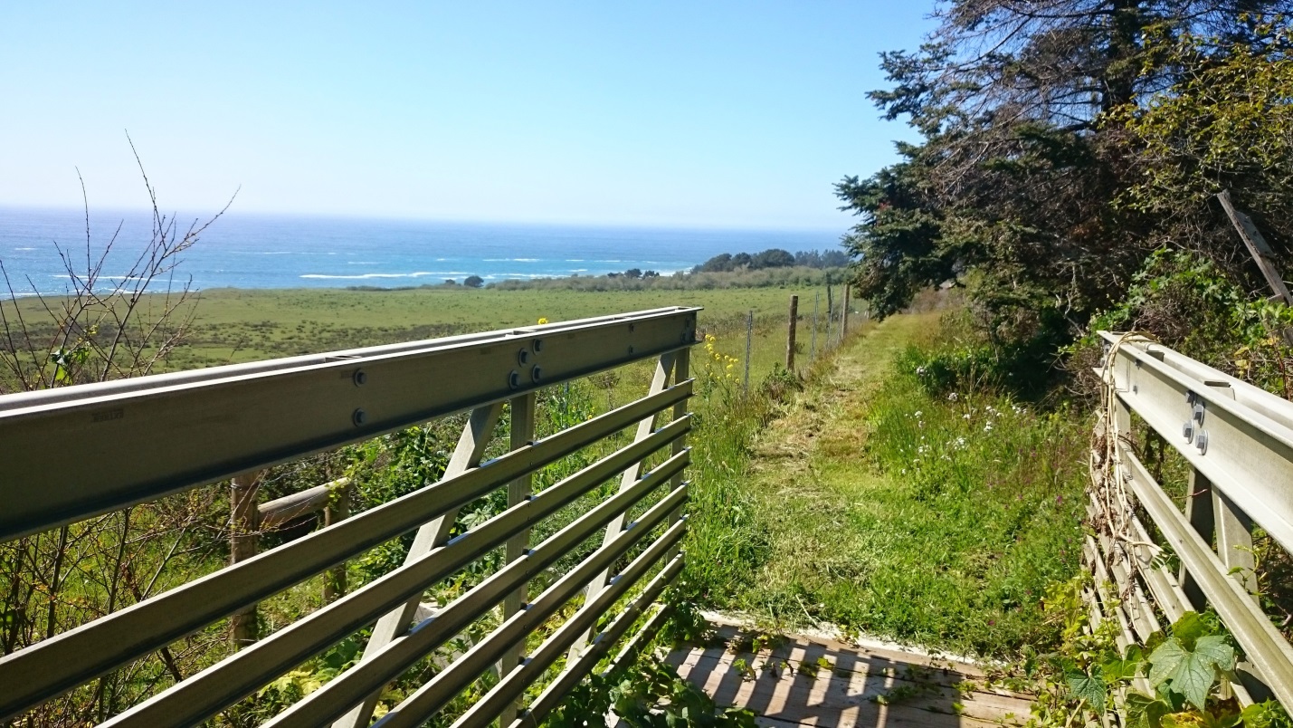
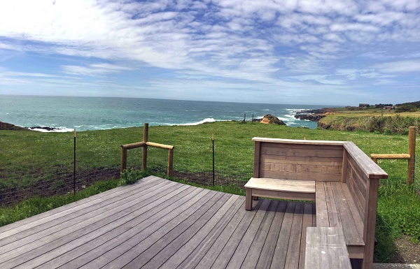
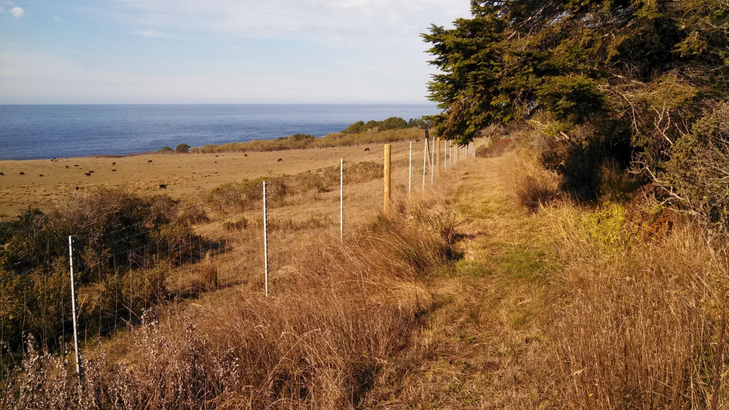
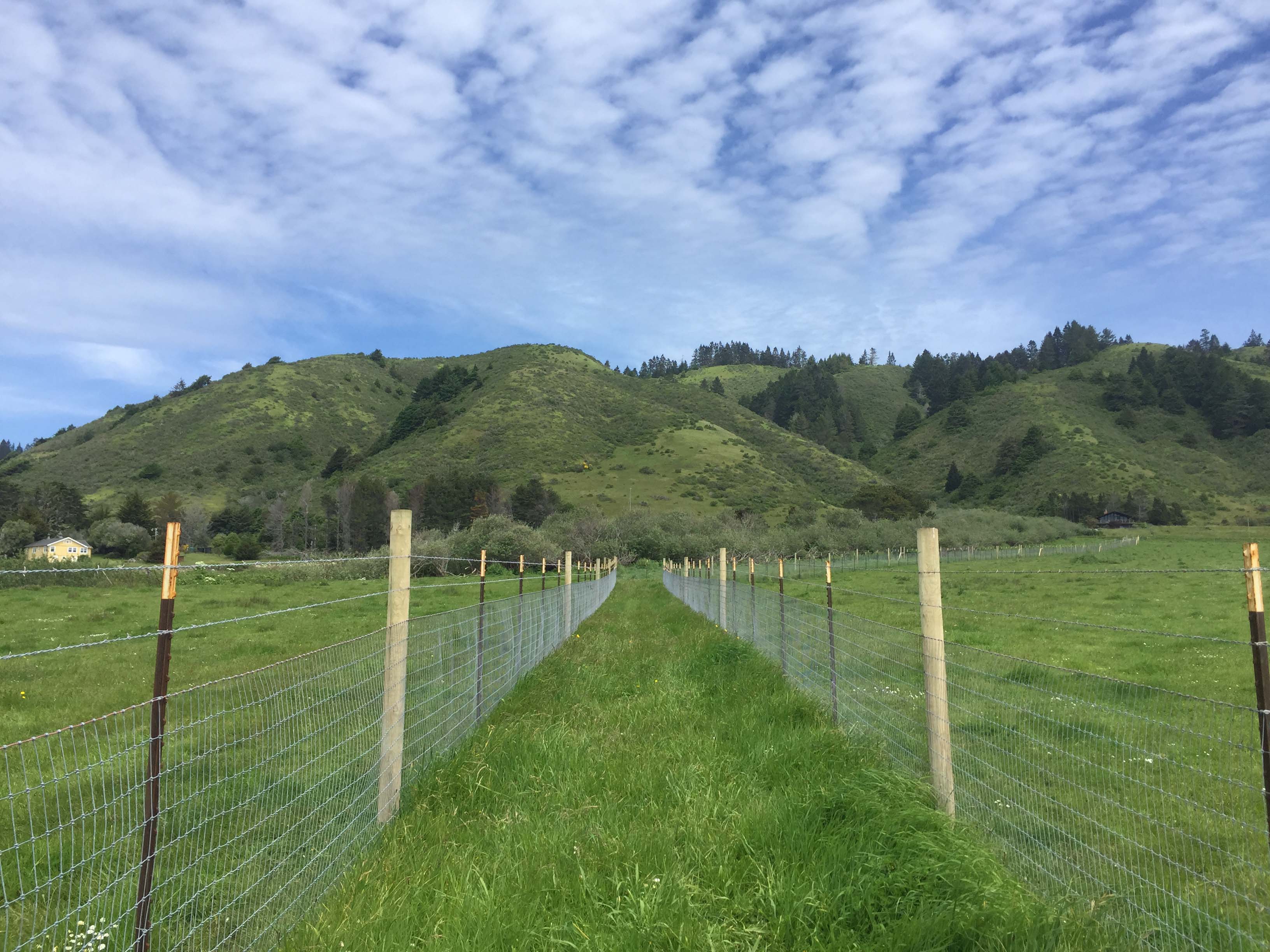
This 1.2-mile long segment of the California Coastal Trail is managed by the Mendocino Land Trust. The trail runs parallel to Highway One along its entire length, with a parking lot and path to an ocean-viewing platform near the trail’s north end.
The trail’s name was changed in 2015 from the Kibesillah Coastal Trail to the Newport Coastal Trail, to match the land’s more accurate place name and that of the recently constructed Inn at Newport Ranch.

Highway One Mile Marker (north end): 73.22
Highway One Mile Marker (south end): 72.15
Trail Length: 1.25 miles
Highway One Mile Marker (south end): 72.15
Trail Length: 1.25 miles