Westport Headlands Trail
AMENITIES


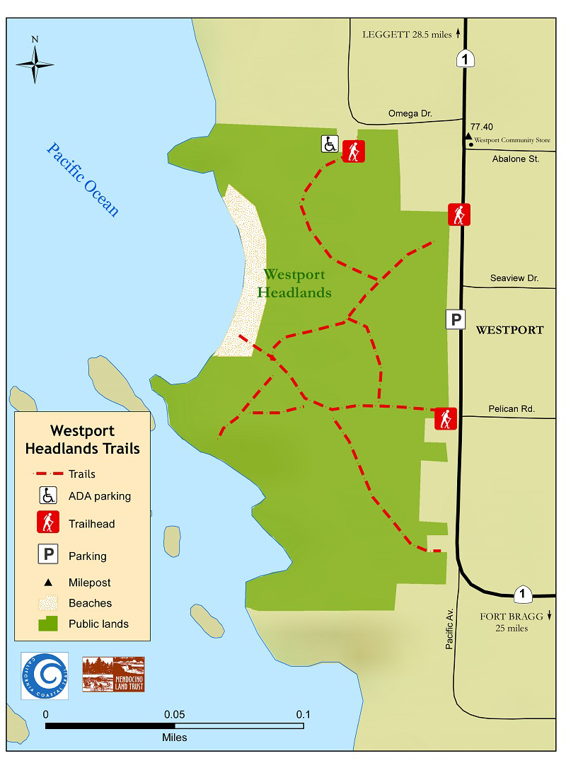 DOWNLOAD MAP
  OPEN IN GOOGLE MAPS
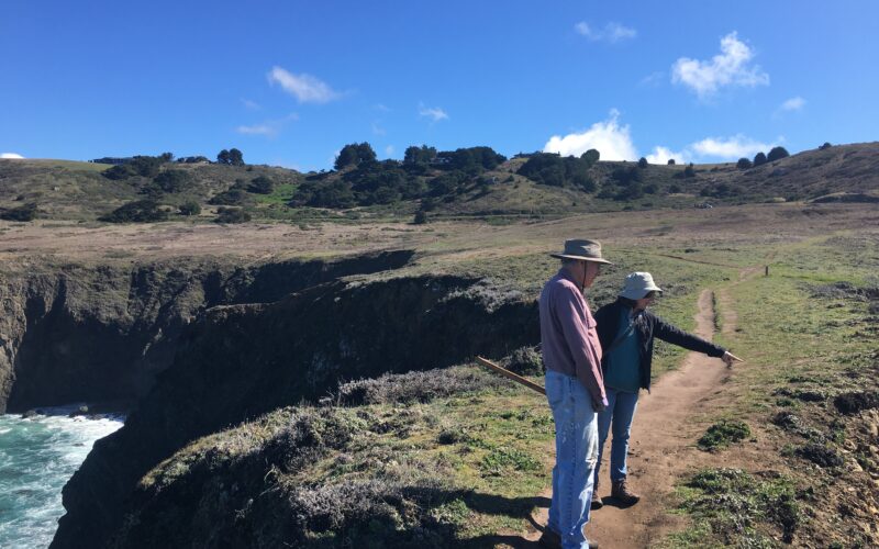
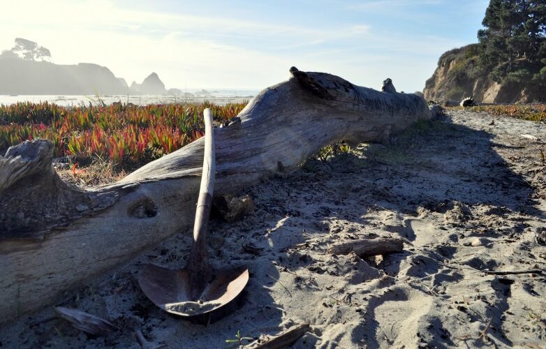
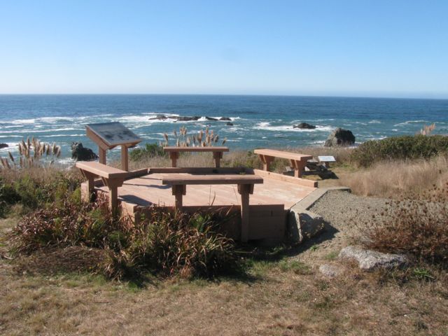
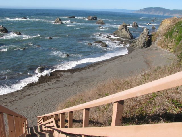
The Westport Headlands is a community gathering spot with a rich history of past uses. In the past, this spot was used as a ship landing, and a careful observer can find signs of that history. Today, the site features picnic areas, a stairway to the rocky cove beach below the headlands, and blackberries in late summer. The public can also enjoy ocean views, whale and bird watching, beachcombing, tidepools, fishing, kayaking, and a children’s natural play area at this location. This public access area is managed by the Westport Village Society (WVS), and has street parking as well as an ADA parking area and platform. For more information, please contact WVS at wvs@westportvillagesociety.org or visit their website at www.westportvillagesociety.org.
Highway One Mile Marker (south end): 77.39
Trail Length: 0.3 miles