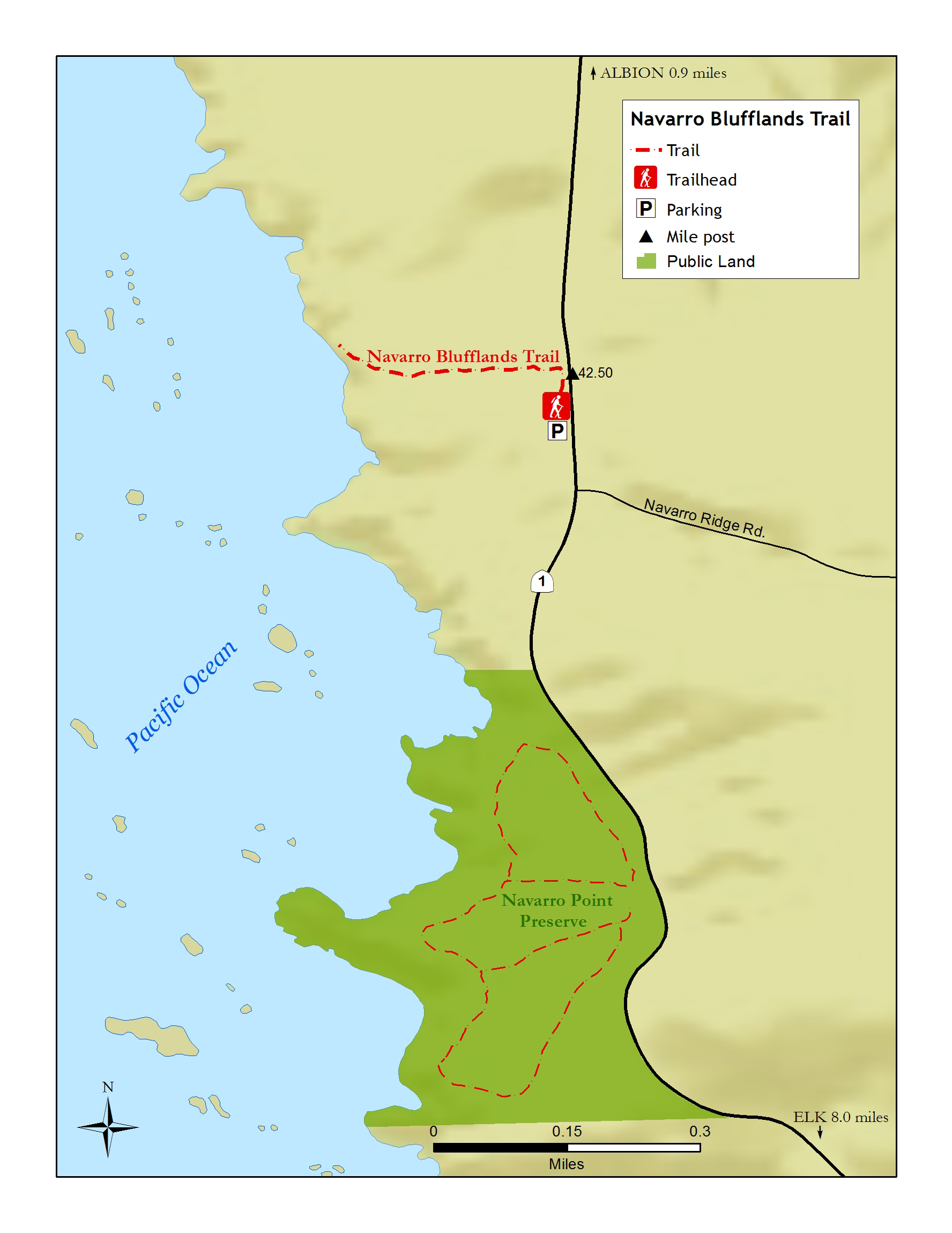
Navarro Blufflands Trail
AMENITIES


 DOWNLOAD MAP
  OPEN IN GOOGLE MAPS
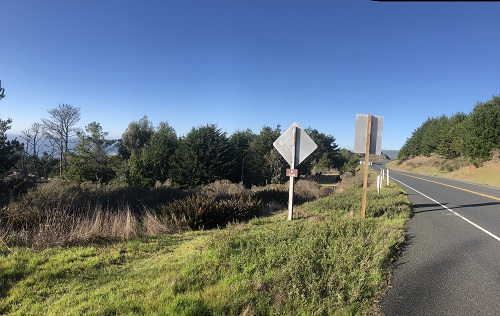
The Navarro Blufflands Trail is located just north of Mendocino Land Trust’s Navarro Point Preserve and travels 0.5 miles west of Highway One to the bluff. Look for mile marker 42.5 on Highway One, and park at the north end of the large Caltrans pullout. The trail can be difficult to find, but if you look for the brown “Coastal Access” signs that lead to the pullout just south of the trailhead, and see the map for more details, you should have no trouble locating this sweet trail.
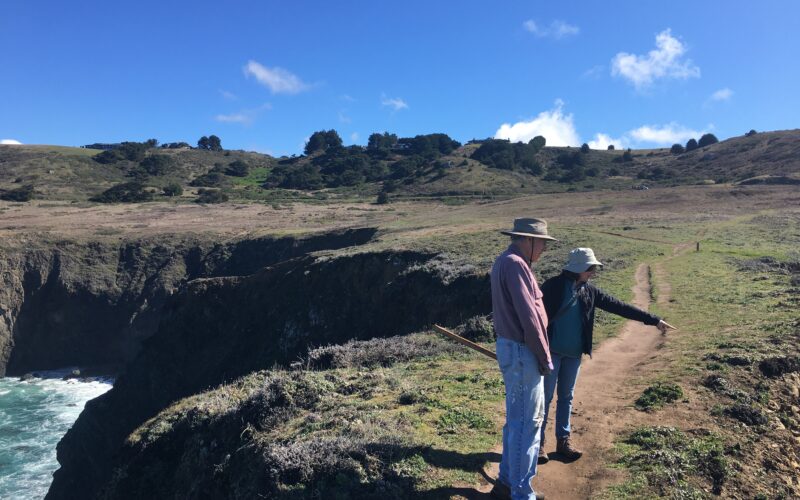
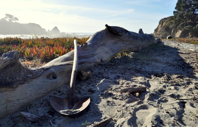
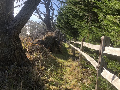
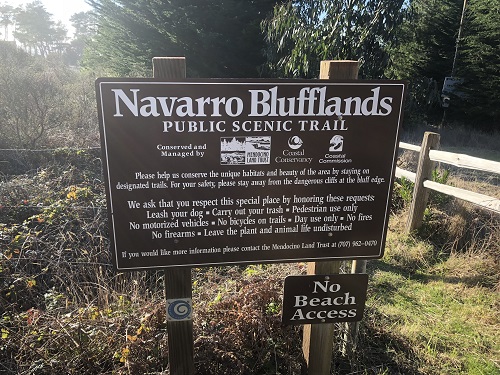
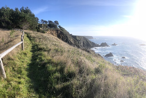
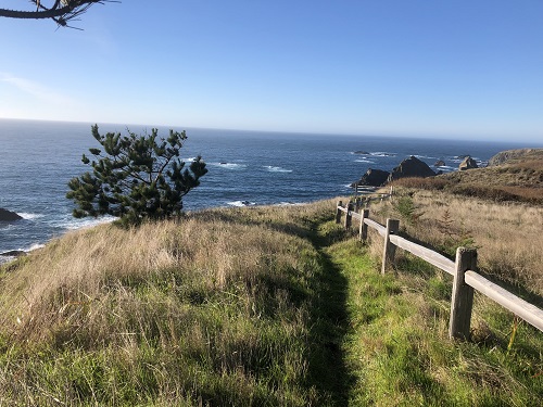
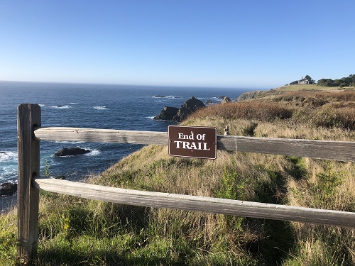
This coastal access offers stunning views from atop a high bluff to the rocky islands offshore, as well as a solitary experience. It travels west along the property line and along a bishop pine windbreak to a steep bluff edge, where cliffs plunge into the sea. At low tide, you can see sea lions and harbor seals pulled out onto the offshore rocks below. The trail ends at a lush riparian area. This trail is on a public access easement on private property, required as a condition of a Coastal Commission permit. It’s managed by the Mendocino Land Trust; for more information, contact them at (707) 962-0470.
Trail Length: .5 miles